Where is Rome?
A fair question, and the answer is more interesting than the dot on the map.
Rome sits about two thirds of the way down the western side of the Italian peninsula, roughly 15 miles inland from the Tyrrhenian Sea, on the left bank of the river Tiber. It is not on the coast, it is not in the mountains, and it is not in the middle of anywhere in particular. For most of history that was the whole point.
Why there at all
The site is a cluster of low hills beside the first place the Tiber can be forded easily as you come up from the sea. Put a settlement there and you control the crossing, the salt road that ran inland from the coastal flats, and the traffic going in both directions. It is high enough to defend, close enough to the sea to trade, and far enough from it not to be raided from one. Cities have been founded for far worse reasons.
The seven hills, and the low ground between
The famous seven are the Palatine, Capitoline, Aventine, Caelian, Esquiline, Viminal and Quirinal. They are not dramatic; the tallest is around 50 metres. What mattered is the marshy ground between them, which the Romans drained through the Cloaca Maxima, one of the earliest sewers anywhere, and which then became the Forum: the flat space where the Republic did its arguing.
Where the roads went
The thing worth understanding about Rome's position is that it stopped mattering fairly quickly, because Rome built its own geography. The consular roads run out from the city like spokes, and a legion or a message or a cartload of grain could move along them at a speed nowhere else in Europe would manage again for a thousand years.

The Via Appia is the one everybody has heard of, begun in 312 BC and running south to Capua and eventually to Brindisi on the heel, where you took ship for Greece. Long stretches of its black basalt paving are still there and still walkable, lined with the tombs Romans built along the roadside because burial inside the city walls was forbidden. That country, the farmed land ringing the city, is the Ager Romanus, and it is where the souvenir plot on your certificate lies.
The short version
- CountryItaly, in the region of Lazio.
- Coordinates41°54′N, 12°30′E. The same pair printed at the foot of your certificate.
- RiverThe Tiber, which reaches the sea at Ostia, Rome's port.
- Nearest seaThe Tyrrhenian, about 15 miles west.
- FoundedTraditionally 753 BC, which is a story rather than a record.
- Still thereContinuously inhabited for around 28 centuries.
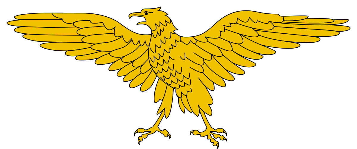
If you want the rest of it, there is a short history of Rome, and the story of the eagle itself.